


Voting District 1057208002001, Mason County, Michigan
About
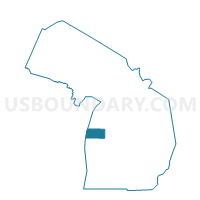
Outline

Summary
| Unique Area Identifier | 598200 |
| Name | Voting District 1057208002001 |
| County | Mason County |
| State | Michigan |
| Area (square miles) | 0.75 |
| Land Area (square miles) | 0.75 |
| Water Area (square miles) | 0.00 |
| % of Land Area | 100.00 |
| % of Water Area | 0.00 |
| Latitude of the Internal Point | 43.95115300 |
| Longtitude of the Internal Point | -86.27422620 |
Maps


Graphs
Select a template below for downloading or customizing gragh for Voting District 1057208002001, Mason County, Michigan


Neighbors
Neighoring Voting District (by Name) Neighboring Voting District on the Map
- Voting District 1050198000001, Mason County, MI
- Voting District 1051944000001, Mason County, MI
- Voting District 1056886000001, Mason County, MI
- Voting District 1057208001001, Mason County, MI
Top 10 Neighboring County Subdivision (by Population) Neighboring County Subdivision on the Map
- Amber township, Mason County, MI (2,535)
- Custer township, Mason County, MI (1,254)
- Scottville city, Mason County, MI (1,214)
- Riverton township, Mason County, MI (1,153)